The final film
Visualizations
See it before it’s built.
It’s hard to get anyone excited about drawings and spreadsheets. Whether it’s a home you want to build or one you want to remodel, I take the information you already have (property data, the location, survey data, a few photos) and turn it into a 3D world you can fly through.
It makes a concept feel real: for planning the design, for selling it, and for investors who need to see it before they commit.
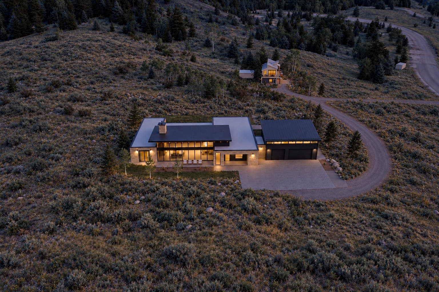
Case study: a mountain property in Stagecoach, Colorado, near Steamboat Springs, with an existing house to remodel and a new home planned on a second building site. The film above came straight out of the process below.
Step 01
Gather the raw resources
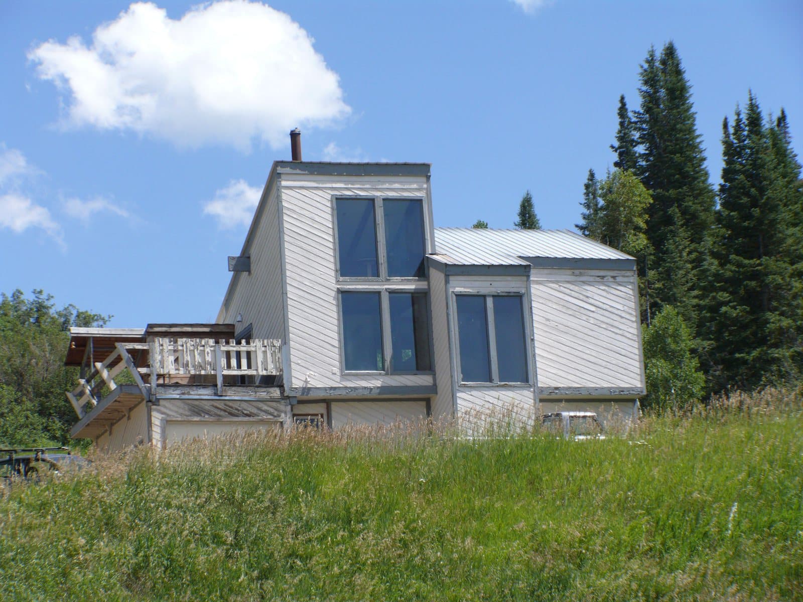
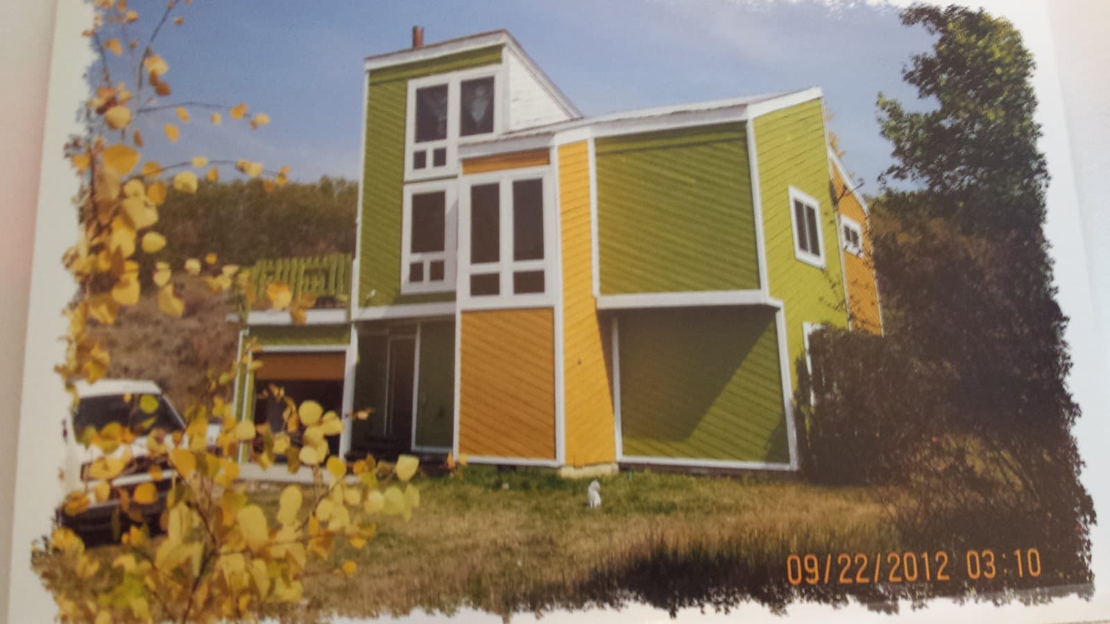
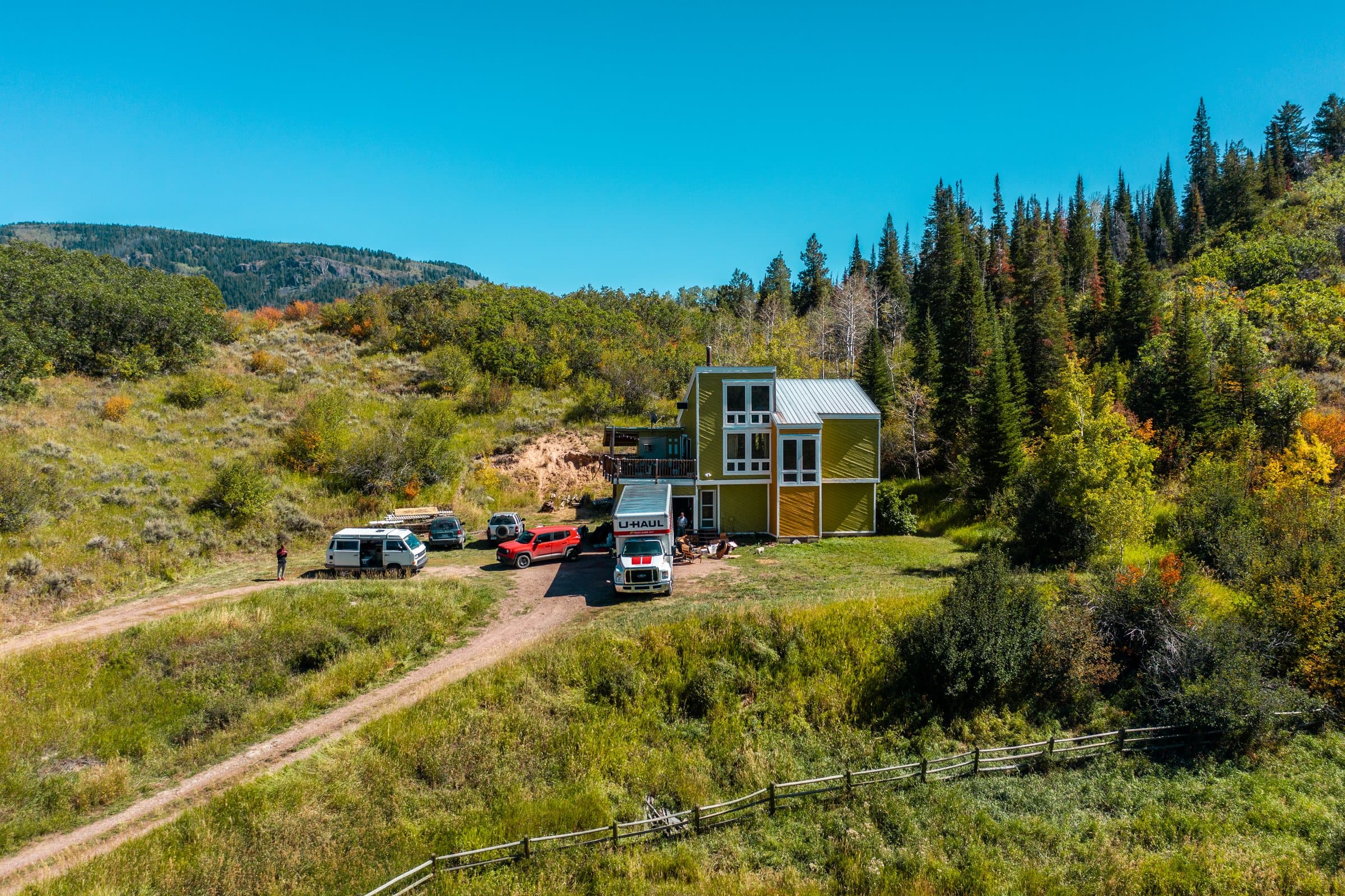
Every project starts with whatever already exists. For this one that meant the property records and location, public elevation data, the survey, and every photo we could get our hands on: an old snapshot from 2009, a scanned print from 2012 and a drone photo from 2019.
None of it has to be perfect. Every piece gets cross-checked once it’s in 3D.
Step 02
Build the 3D world
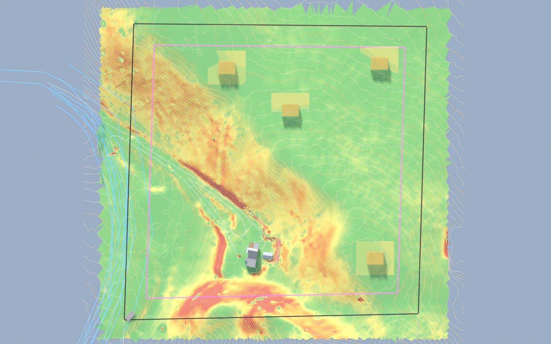
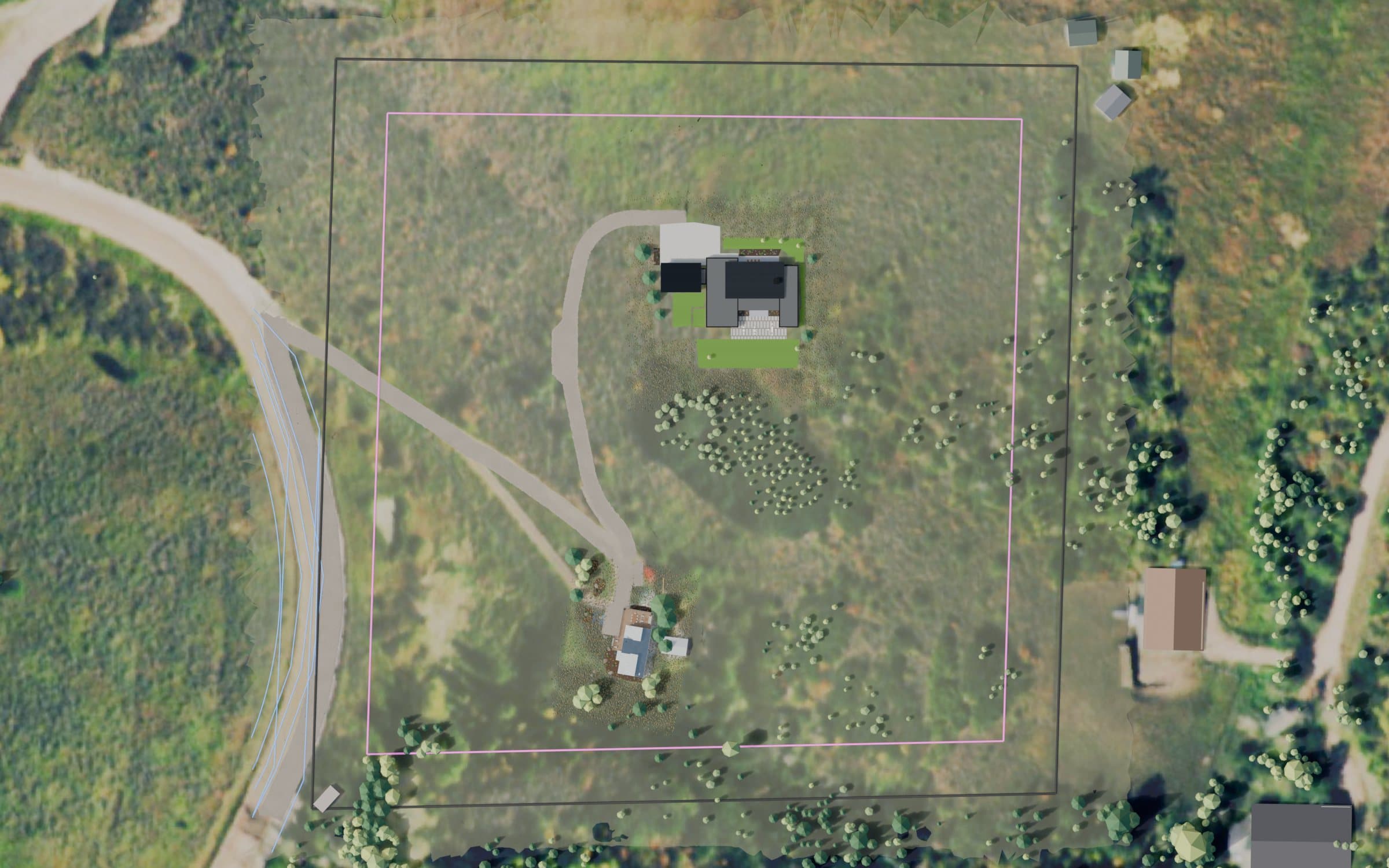
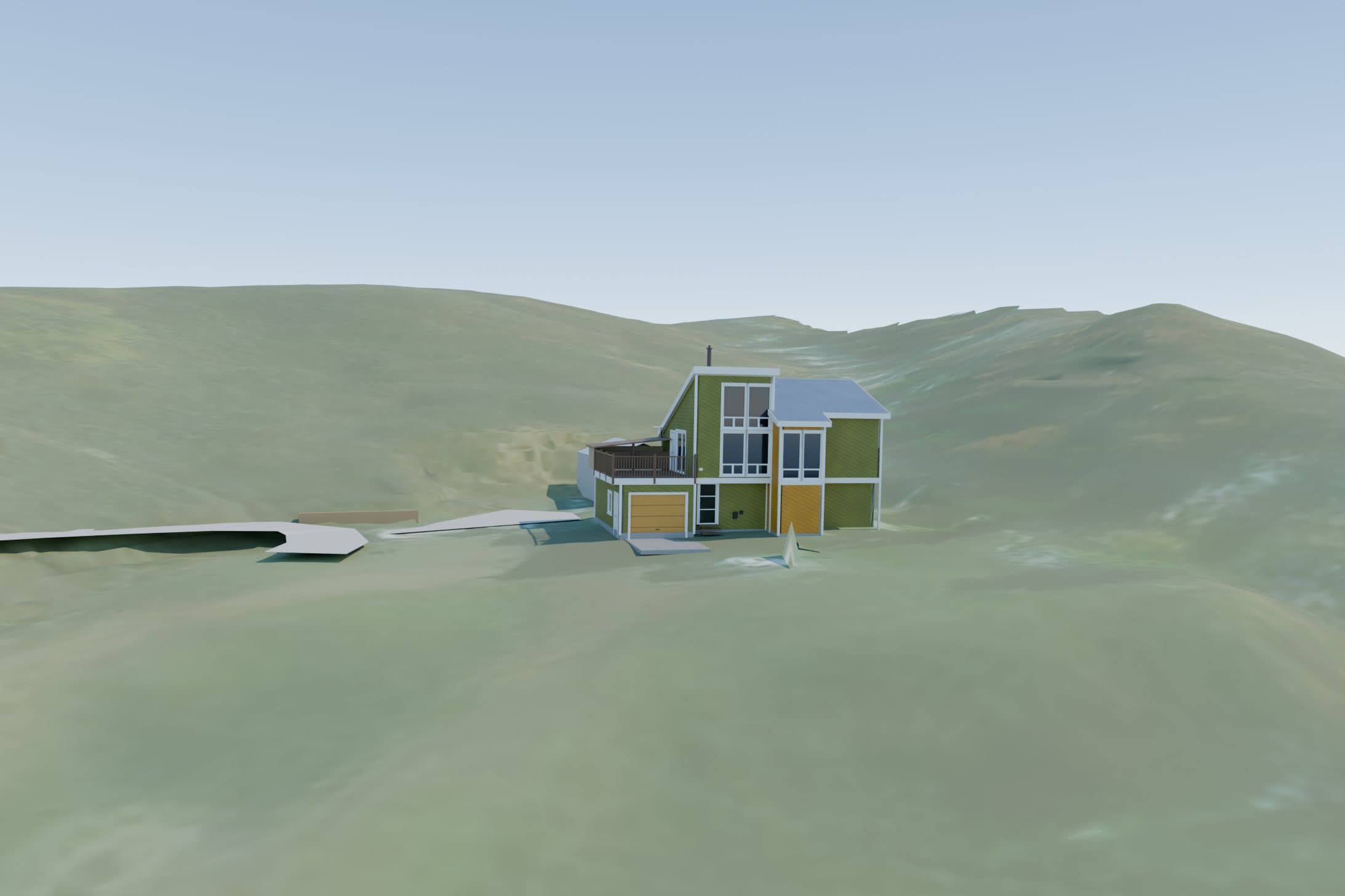
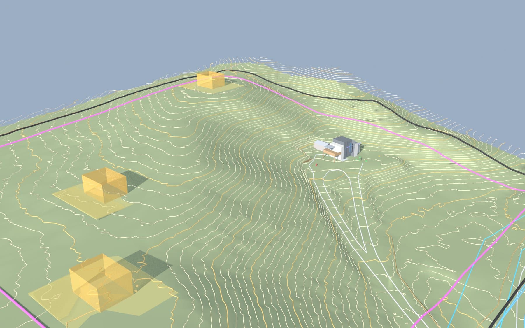
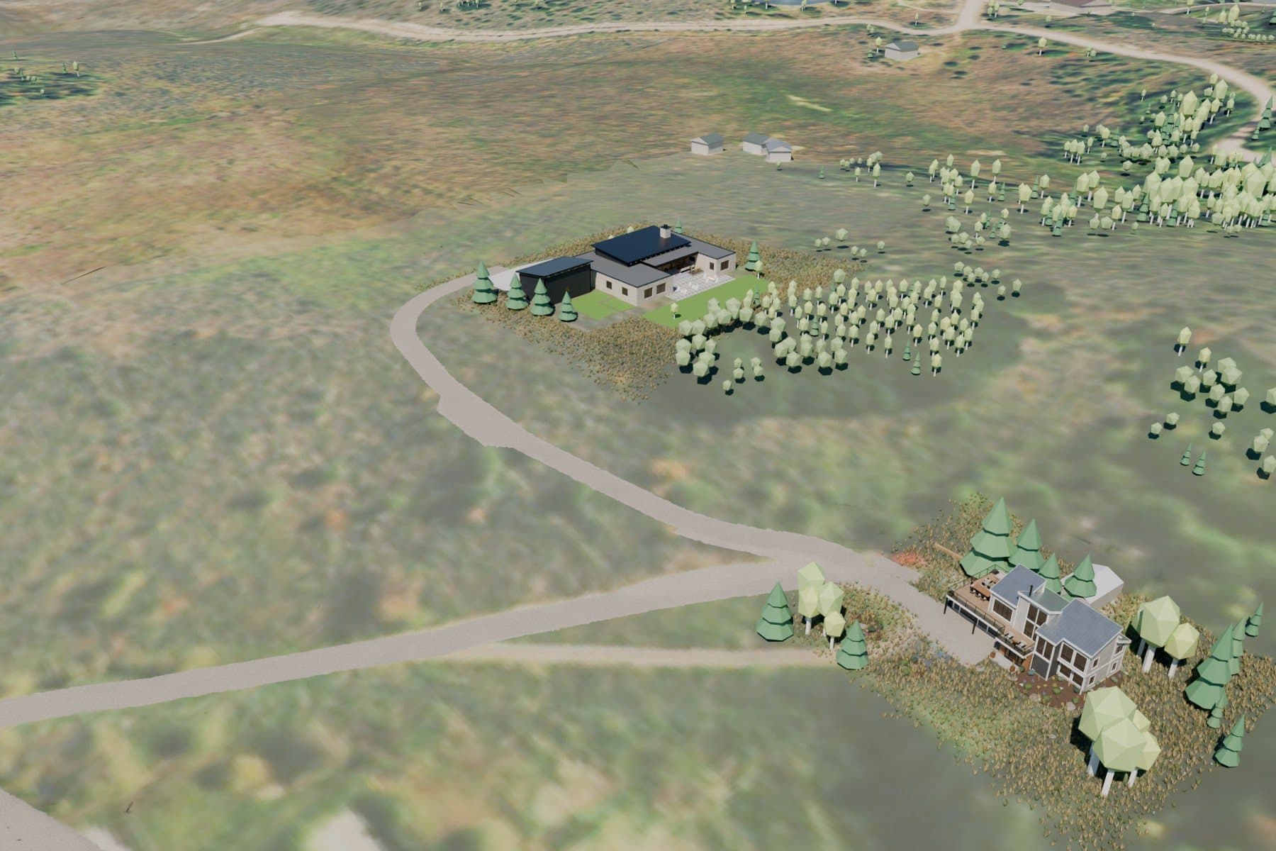
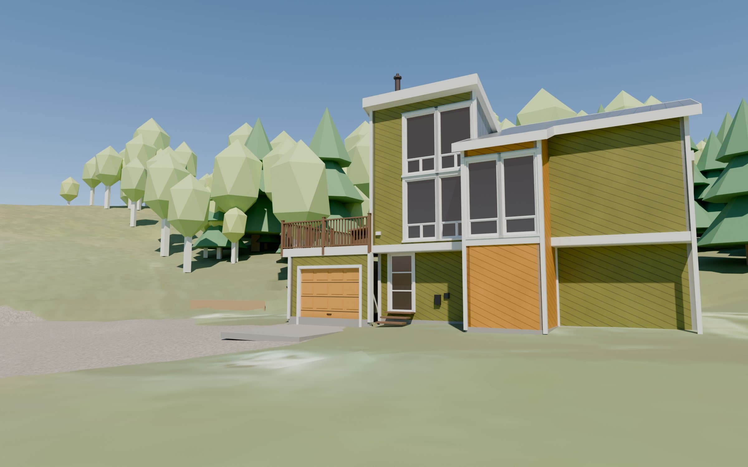
From there I build the place in 3D: the terrain from the elevation data, the existing house measured from the photos, then the roads, trees, neighbors and mountains around it.
To prove the model is right, I line its camera up with a real drone photo. If the model matches reality, everything rendered from it can be trusted. Then the design work goes in, on the same footing.
Step 03
Create visuals inside the world
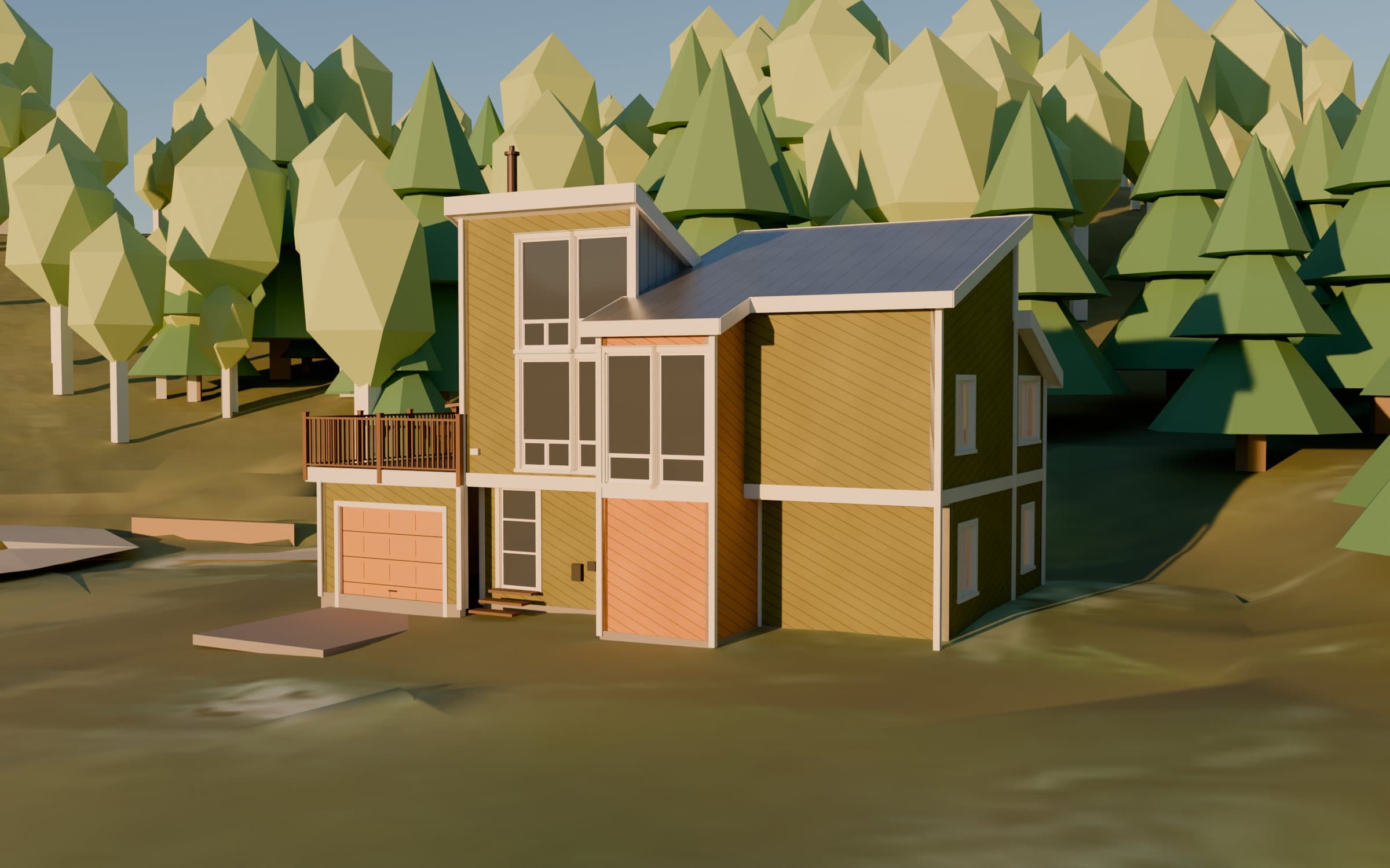
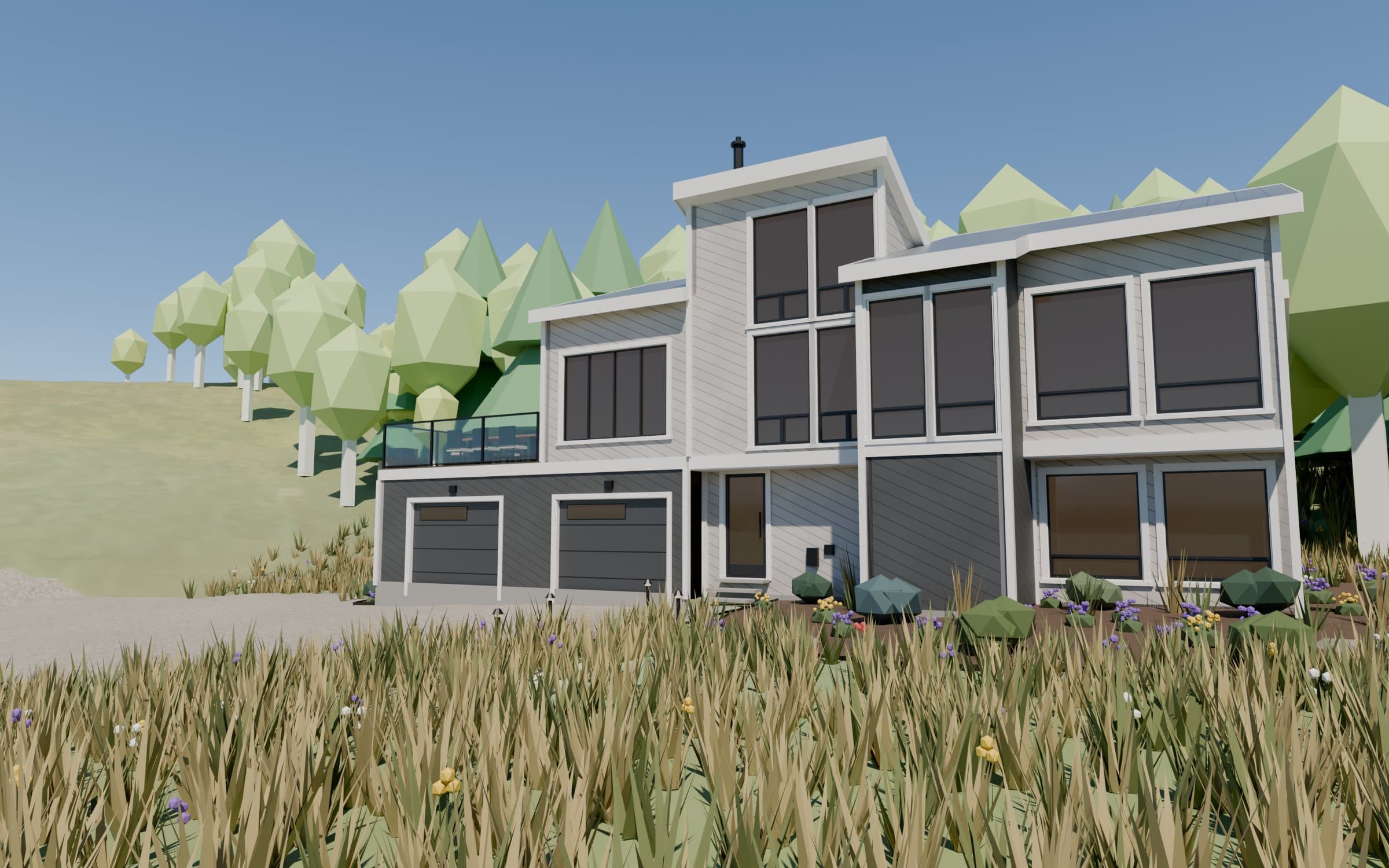
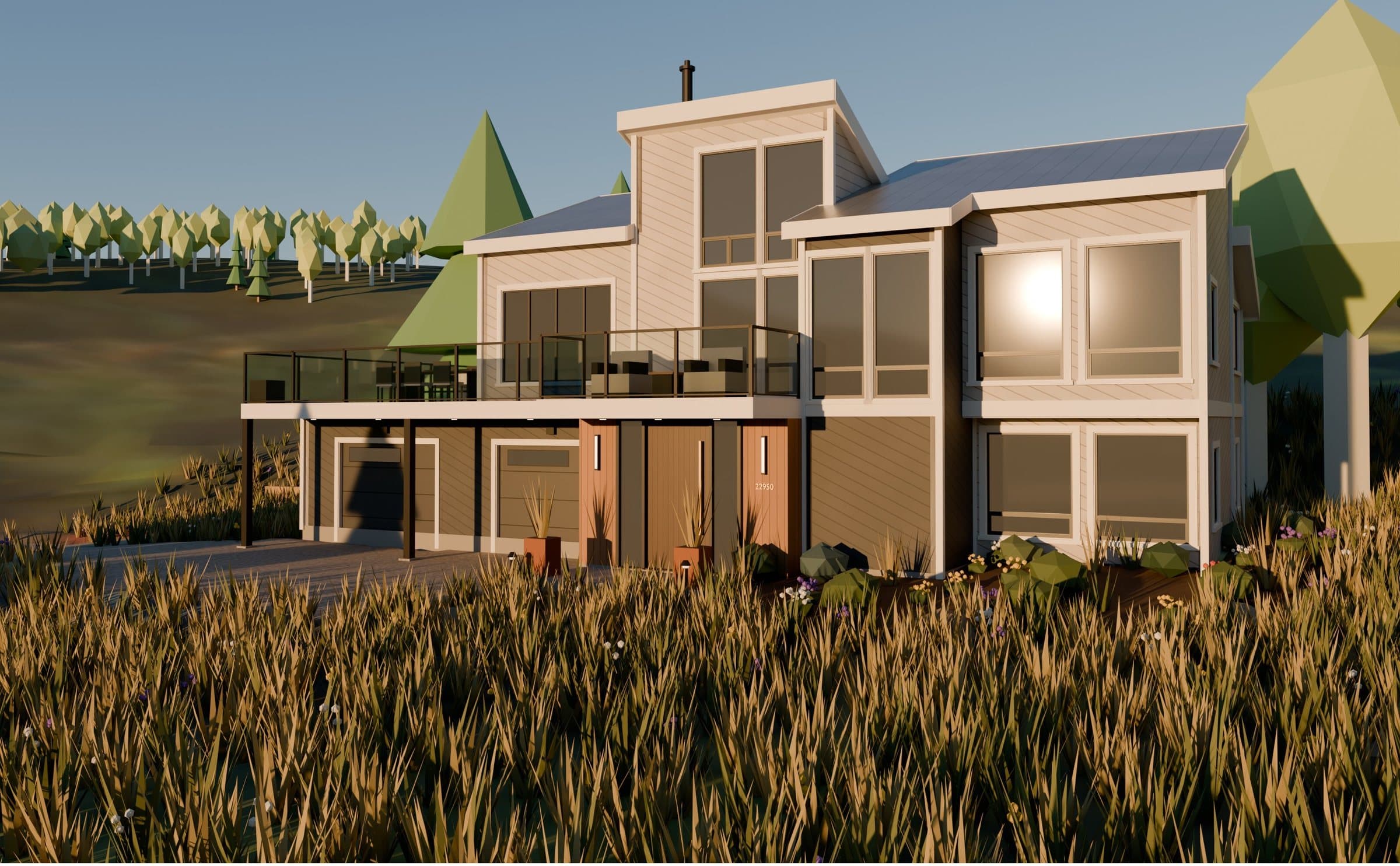
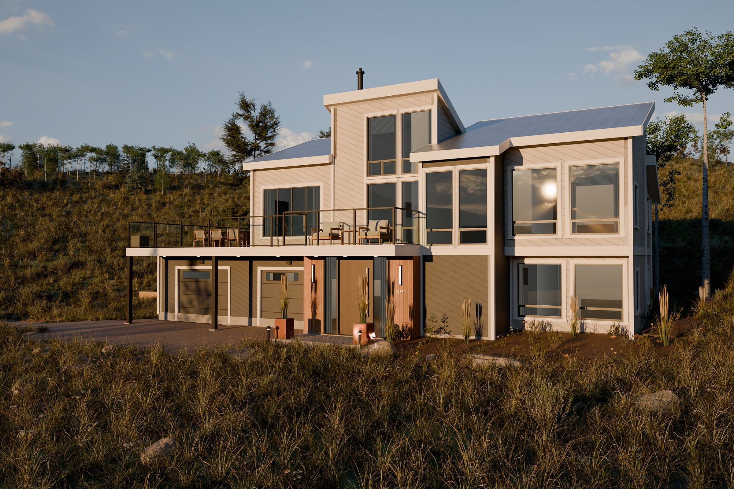
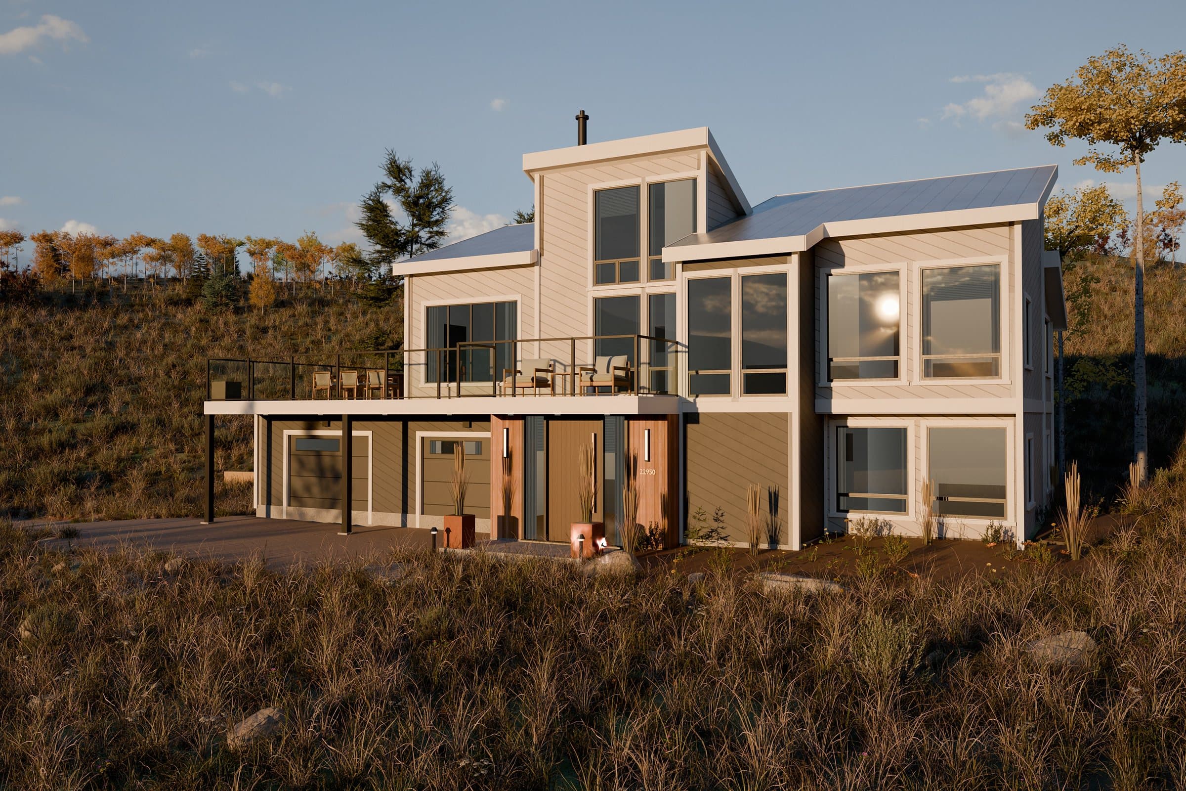
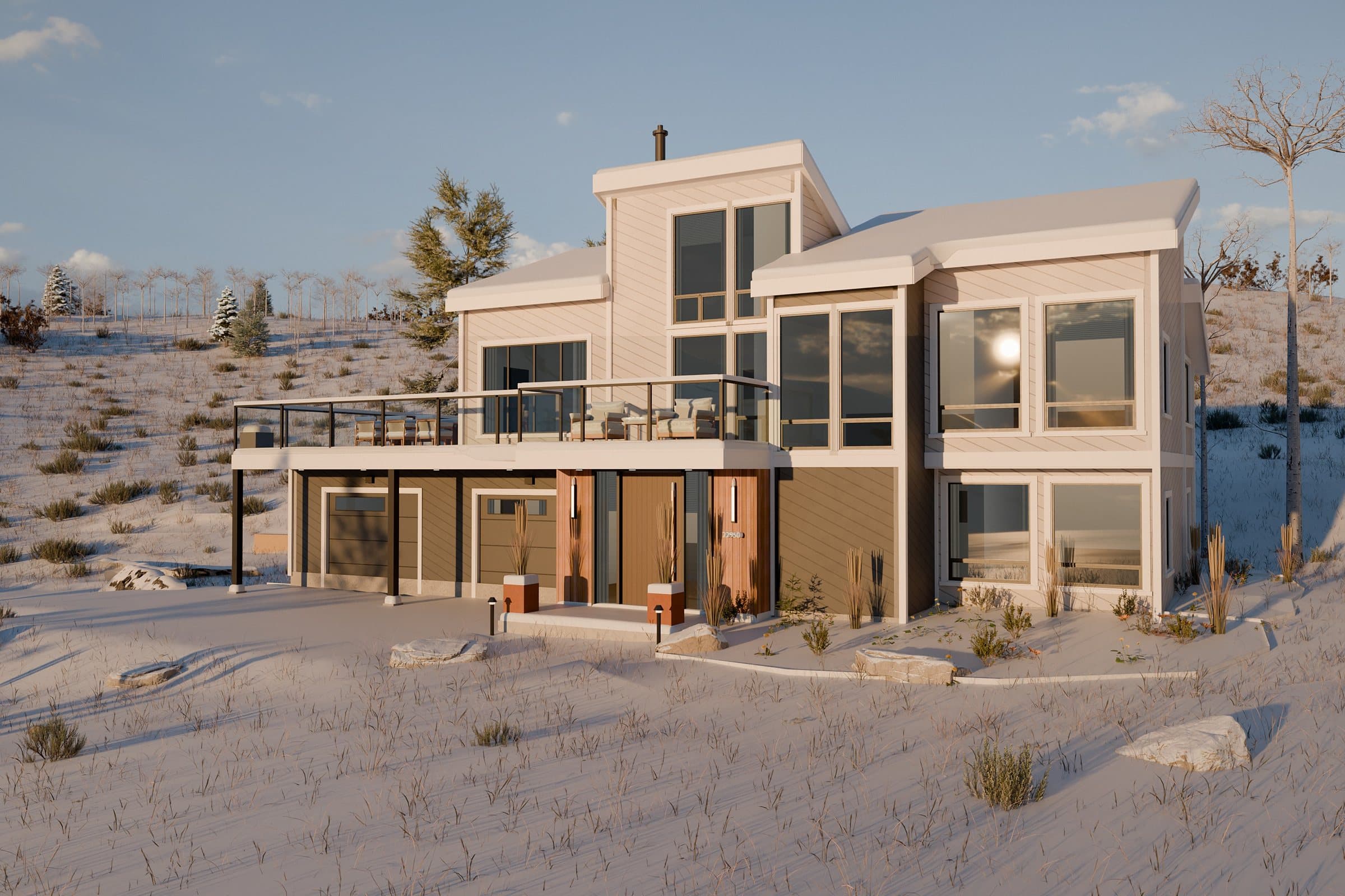
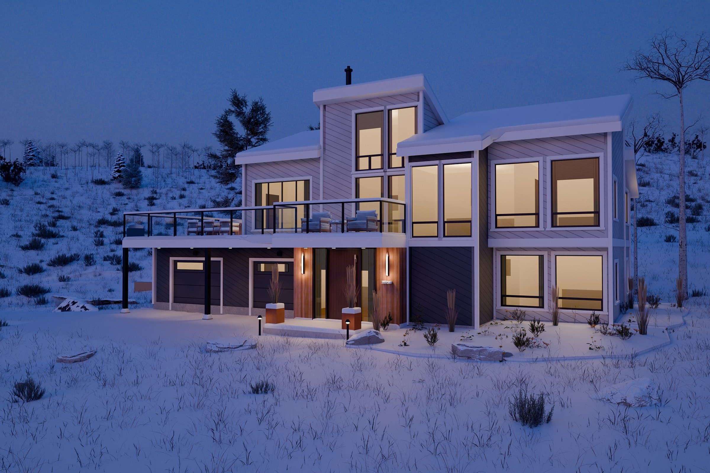
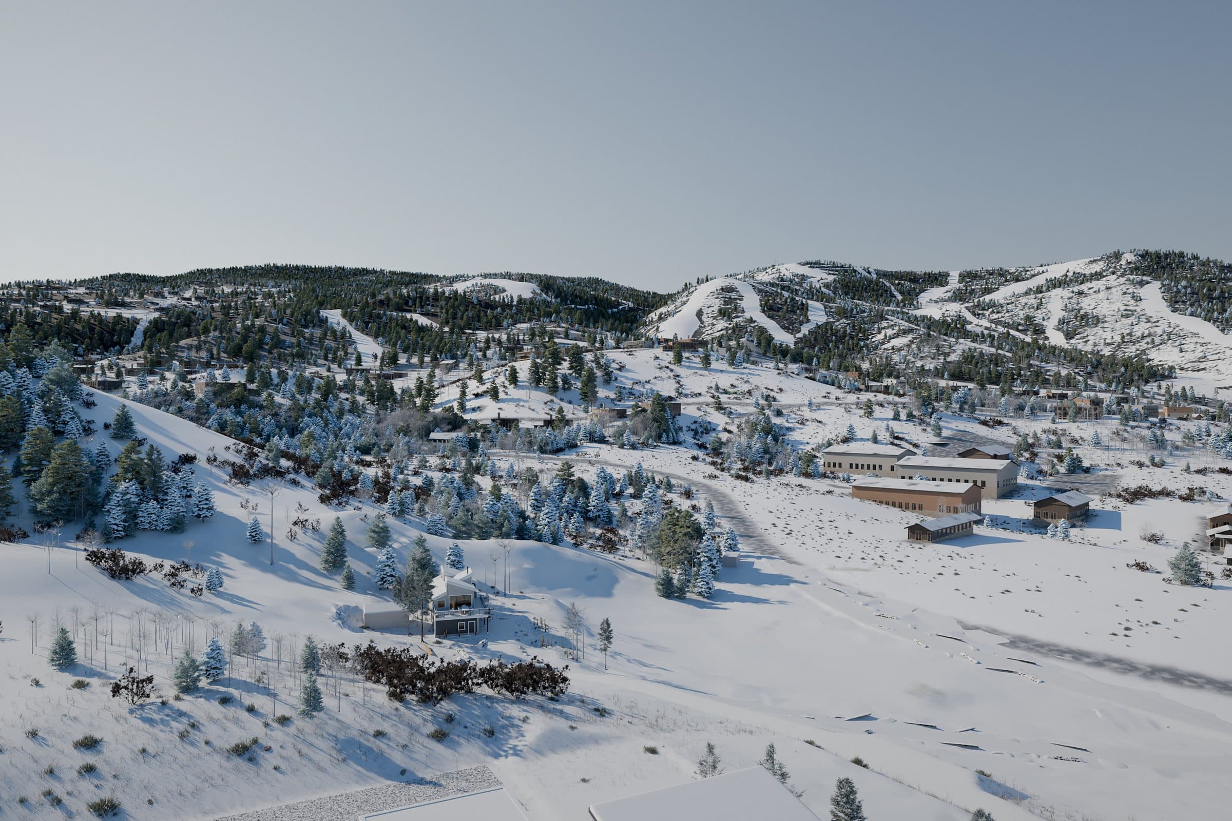
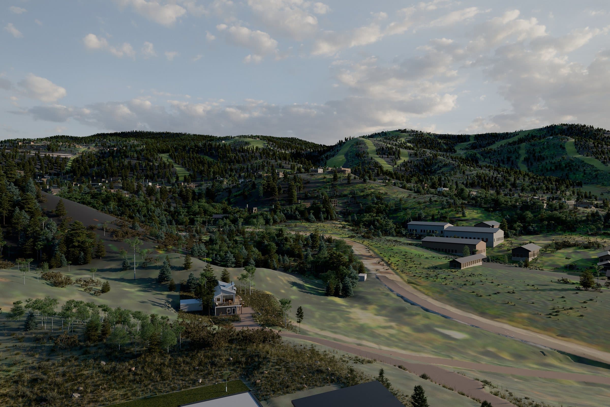
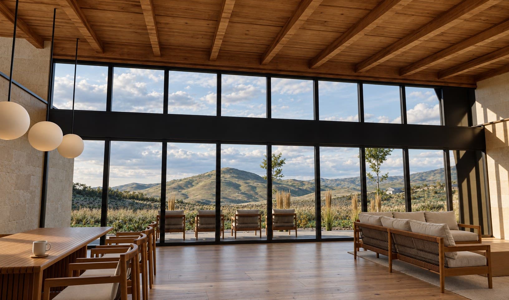
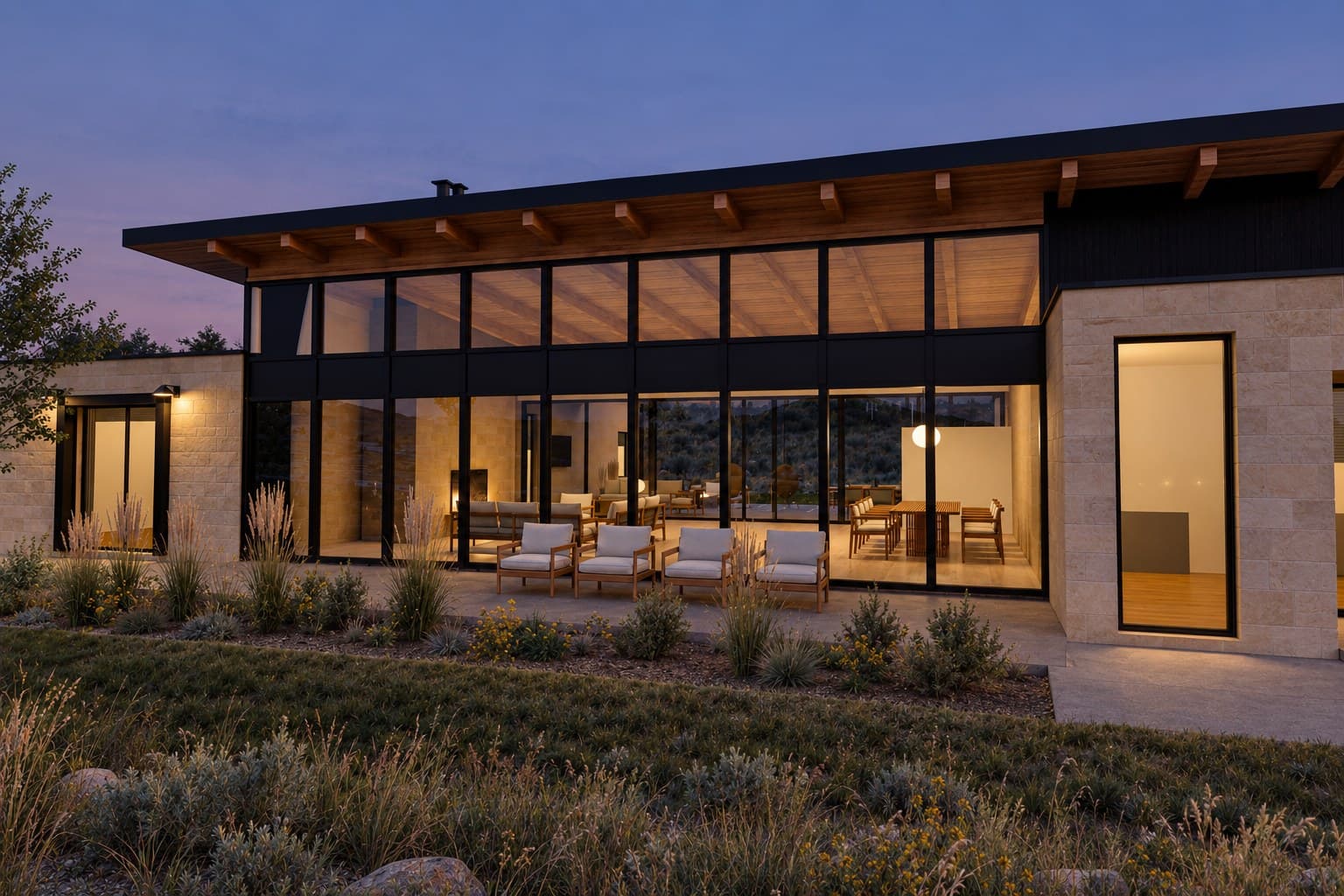
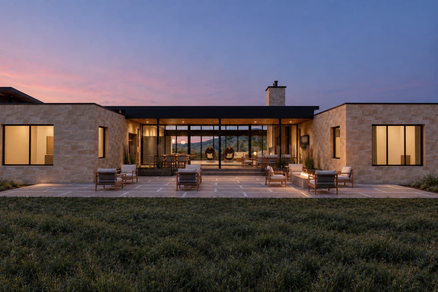
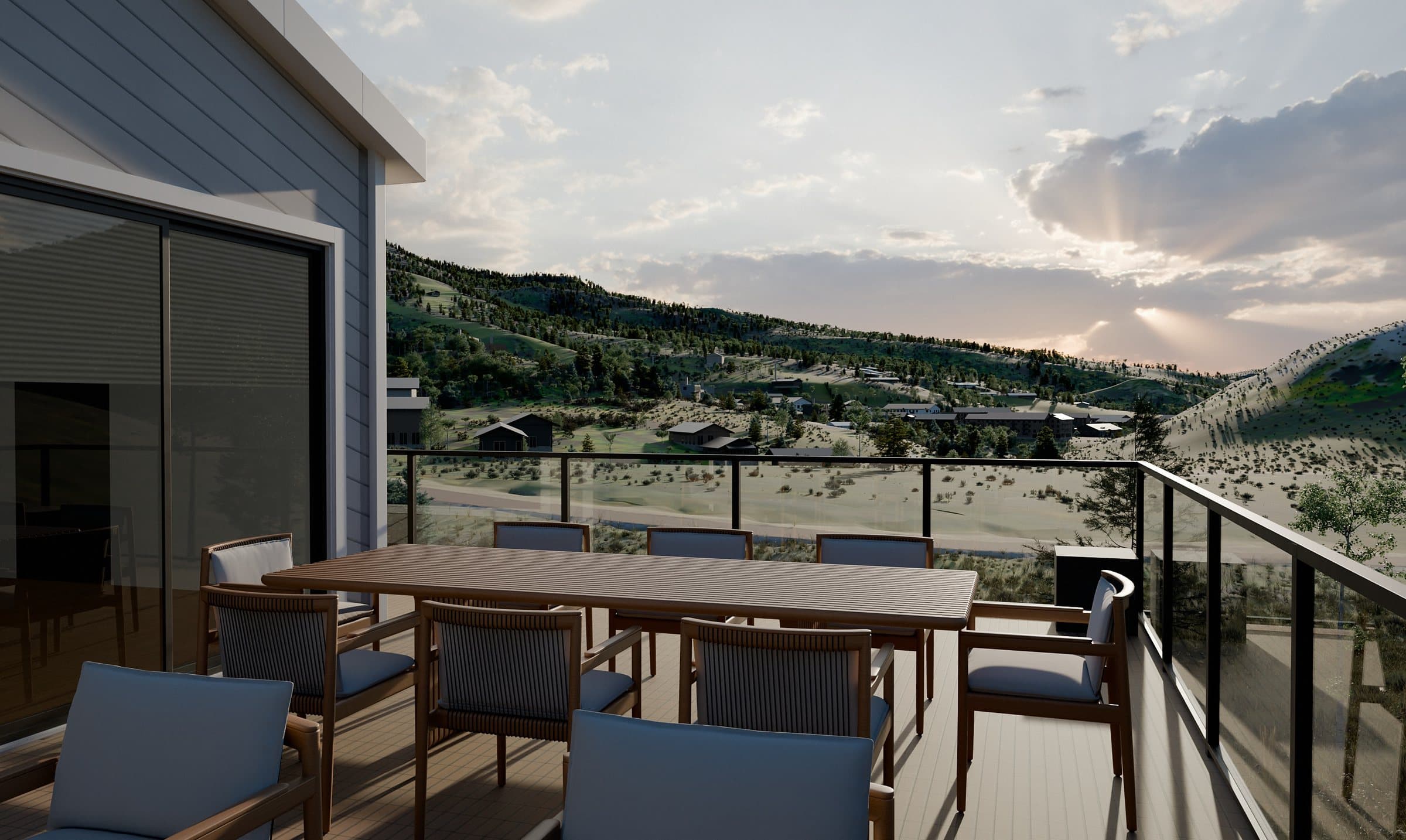
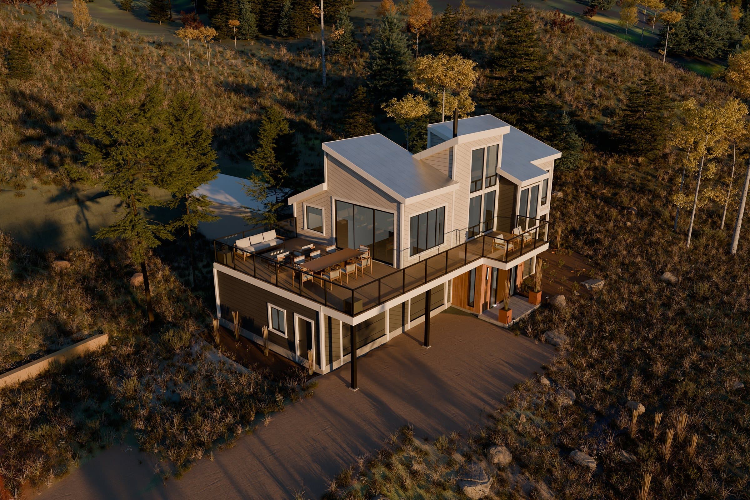
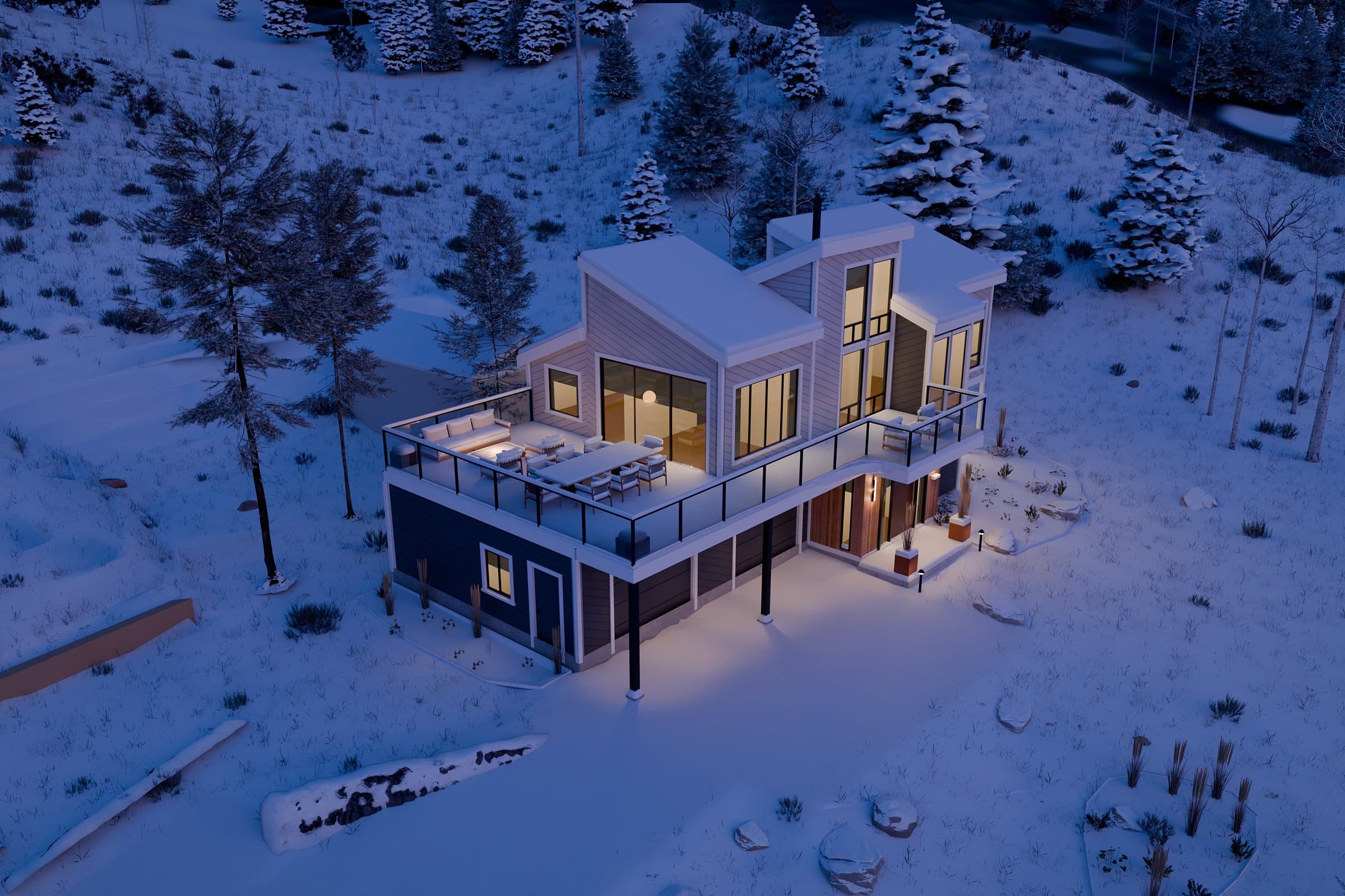
Once the world is built, every view is just a camera move away: any angle, any season, any time of day, inside or out. The same model turns into photoreal stills for a brochure, studies for the architect, and flights for a film.
One camera, four seasons
More than pretty pictures
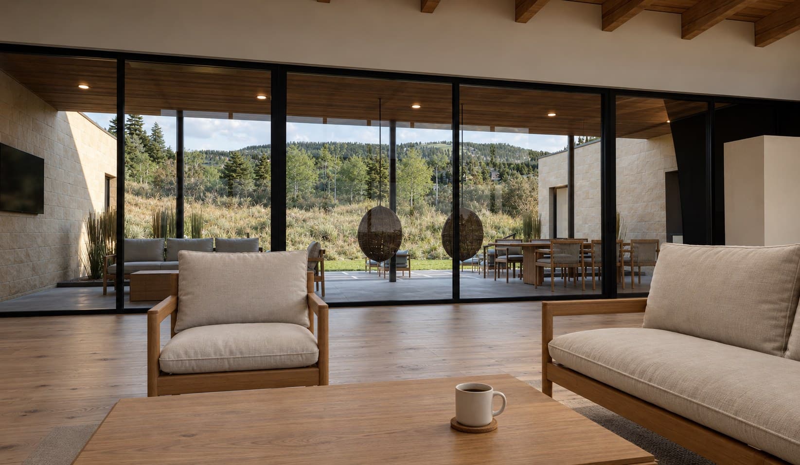
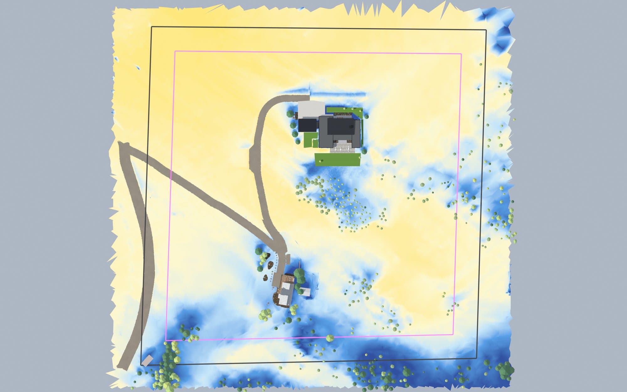
The same model answers planning questions too: where the winter sun falls, how steep a new driveway gets, and what each room will look out at.
Step 04
Upres to the final film
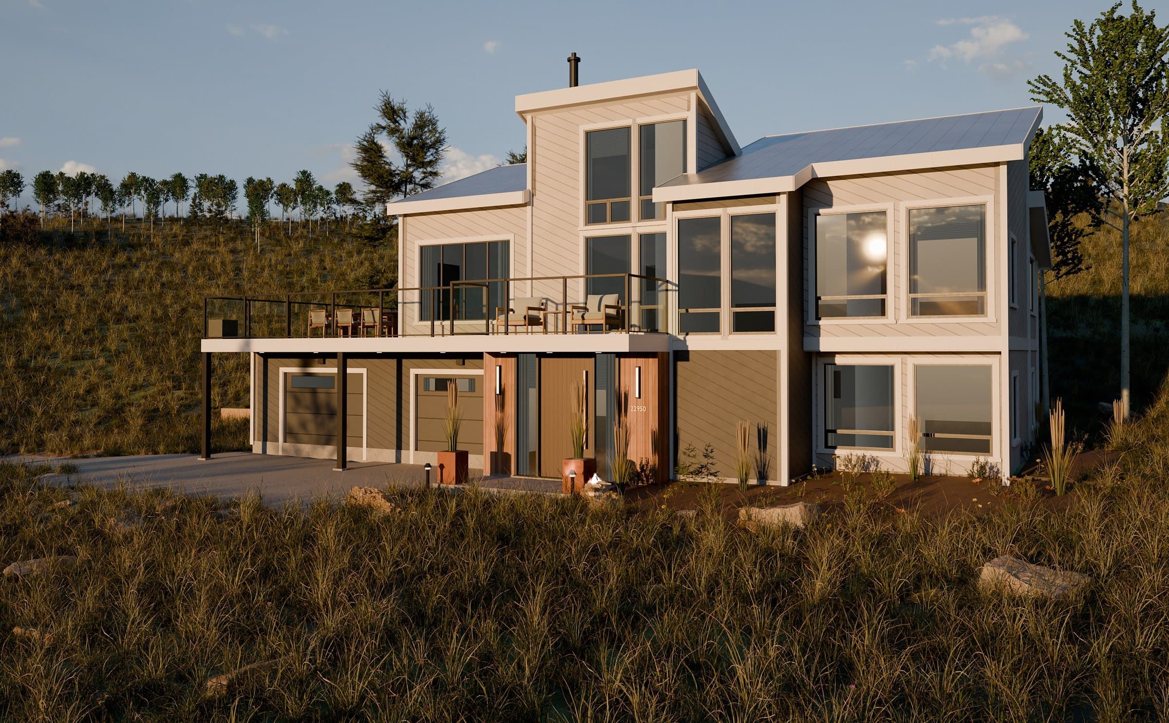
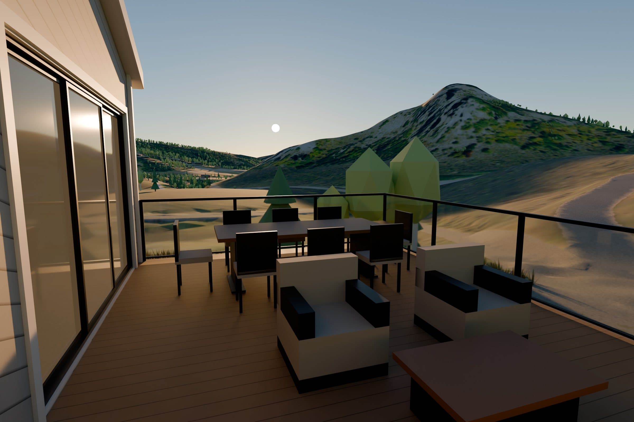
For the film, I fly a camera path through the 3D world. That preview gets the camera move right, but it still looks like a model. In the last step I upres it into a photoreal film with AI-assisted rendering, guided frame by frame by the 3D preview, so the house, the roads and the flight path stay true to the design.
More from the same world
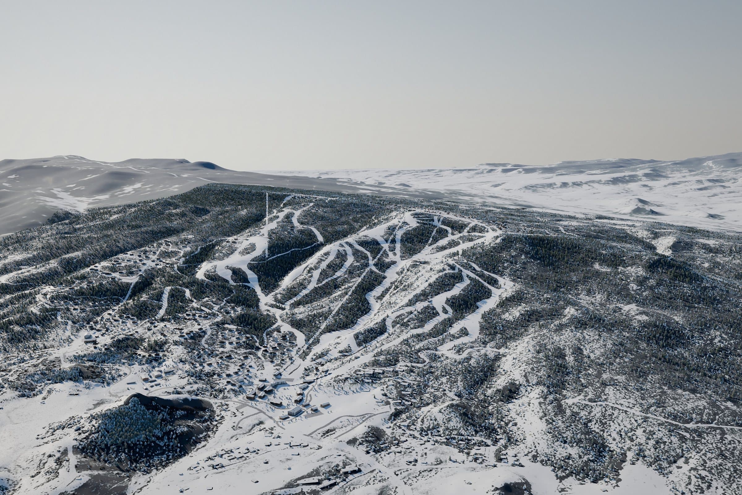
Every image here was rendered from the same model.
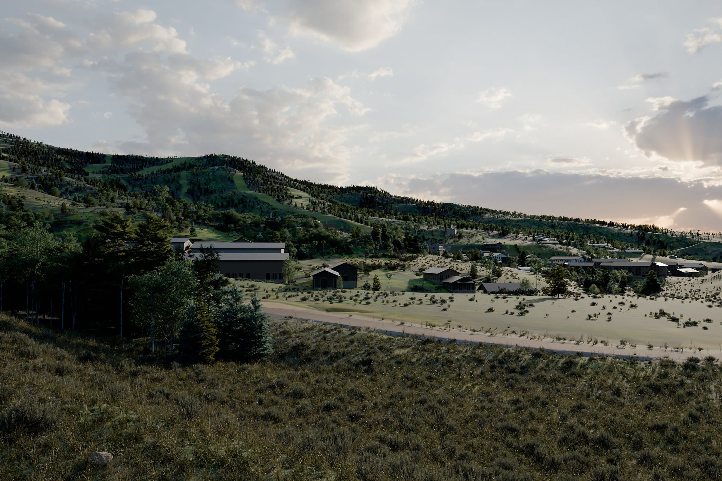
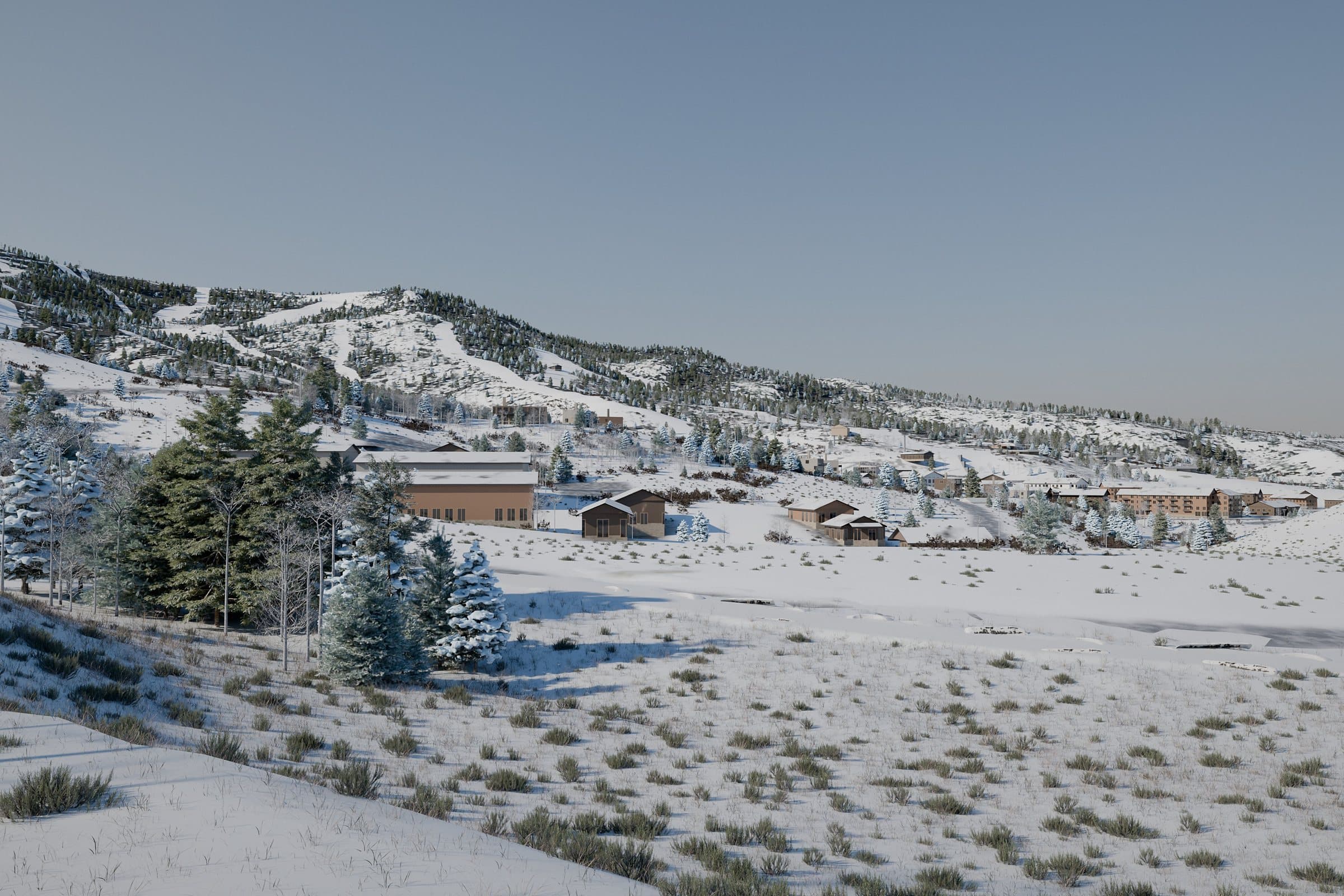
The ski area next door is a concept visualization modeled from public planning documents, not an official rendering.
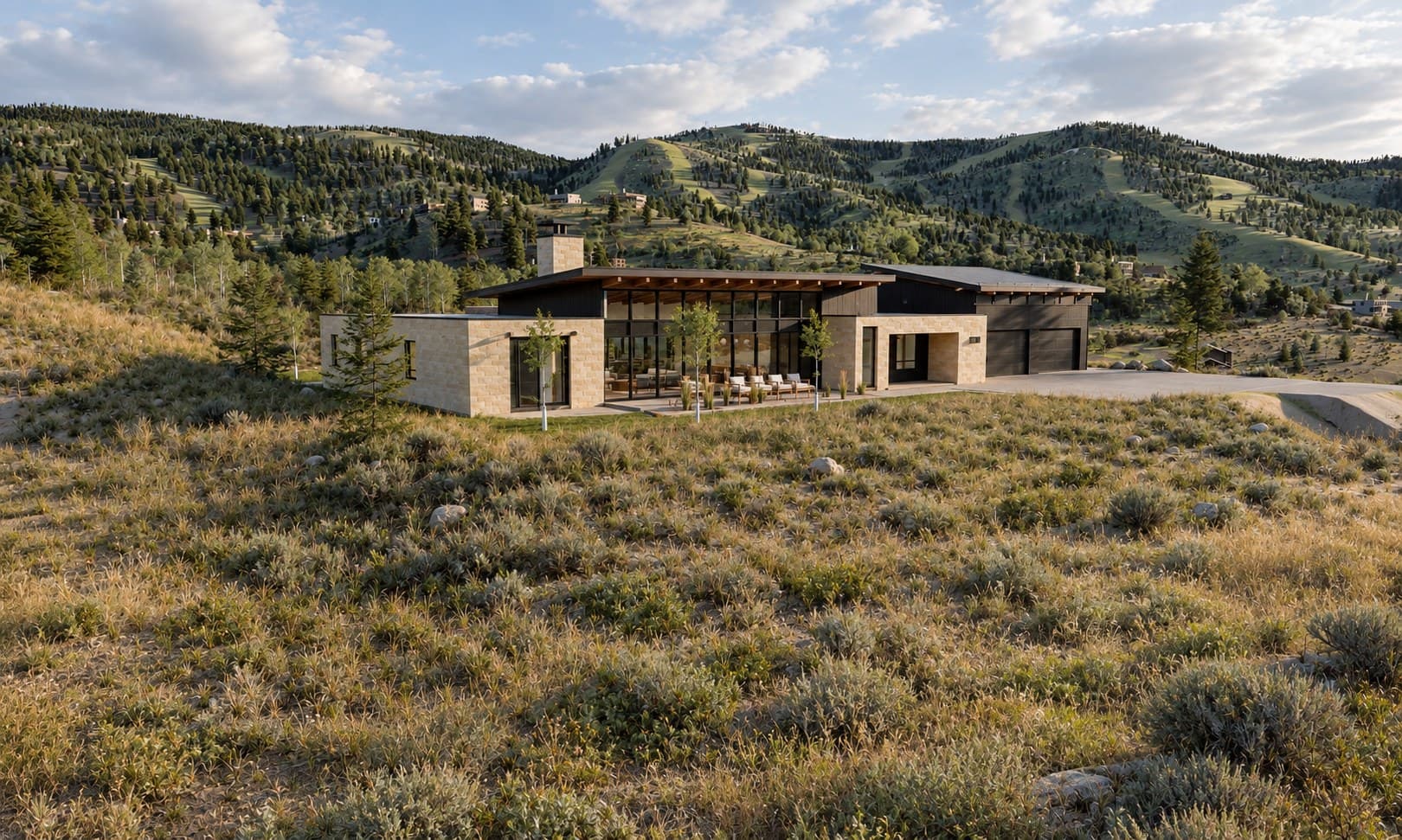
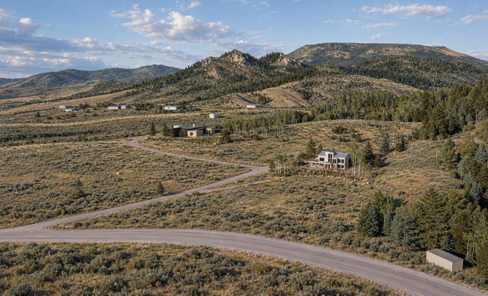
Have a project you want to see before it’s built?
Send me what you have: plans, photos, a survey, or just a location and an idea. I’ll show you what it can look like.
Message me on Instagram · @luke_tornare